

Ready for the results?
Datum Land Surveys provides accurate boundary, land, building, topographical and drone surveys across Manchester, Liverpool, St Helens, Warrington and the wider North West of England.
Using modern GPS surveying equipment, digital Ordnance Survey mapping and relevant Land Registry documents, we record the important features of each site and translate them into clear, professional drawings supplied in 2D PDF and DWG formats.
Whether you are planning a new development, resolving a boundary dispute, managing a construction project or recording an existing site, our experienced surveyors deliver the accurate information you need to make informed decisions. Every survey is completed with precision, attention to detail and a commitment to providing clear, reliable data you can trust.
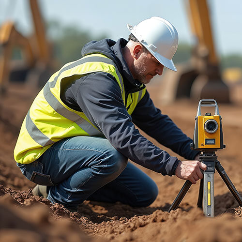
Surveying the North West
From city centres to residential, commercial and development sites across Manchester, Liverpool, Warrington, St Helens, Cheshire and Lancashire, Datum Land Surveys provides accurate measurements and clear information to help clients move forward with confidence.
Every survey is completed with meticulous attention to detail, delivering dependable measurements and reliable data you can trust.
We provide honest advice, transparent reporting and professional surveying services, building lasting relationships through accuracy, reliability and trust.
Using modern surveying equipment and proven techniques, we capture precise site information for every project.
Working closely with homeowners, architects, developers and contractors ensures every survey meets your requirements.
From the initial site visit to the final drawings, we deliver dependable results on time and to the highest standards.
With extensive surveying experience and industry knowledge, we provide clear information that supports confident decision-making.
Surveying with confidence
From boundary and topographical surveys to measured building surveys, Datum Land Surveys delivers accurate information and professional drawings you can rely on.
Accurate boundary and land surveys
Measured building and floor plans
CAD drawings in PDF and DWG formats
Covering the wider North West

Professional Surveying Services
From boundary surveys to drone surveys, Datum Surveys provides accurate, reliable surveying services across Manchester, Liverpool, St Helens, Warrington, St Helens and the wider North West, helping homeowners, architects, developers and businesses make informed decisions.
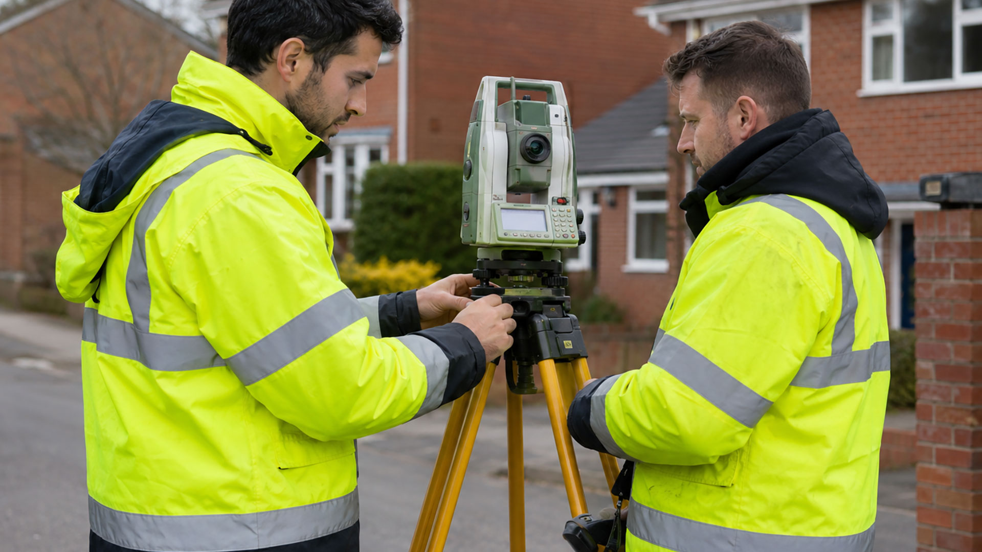
Boundary Surveys
A measured record of fences, walls, buildings, roads and other physical features, helping to create a clearer understanding of an existing property boundary.
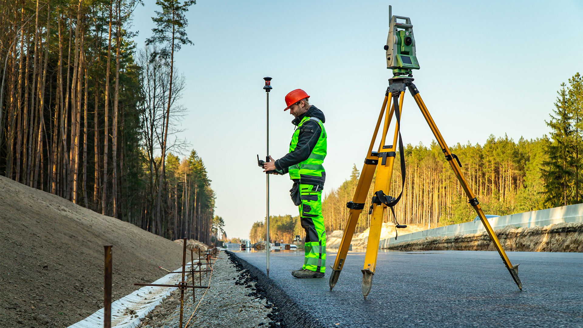
Boundary Determination Surveys
Detailed measured evidence and survey drawings that can support boundary investigations, professional advice and applications relating to a determined boundary.
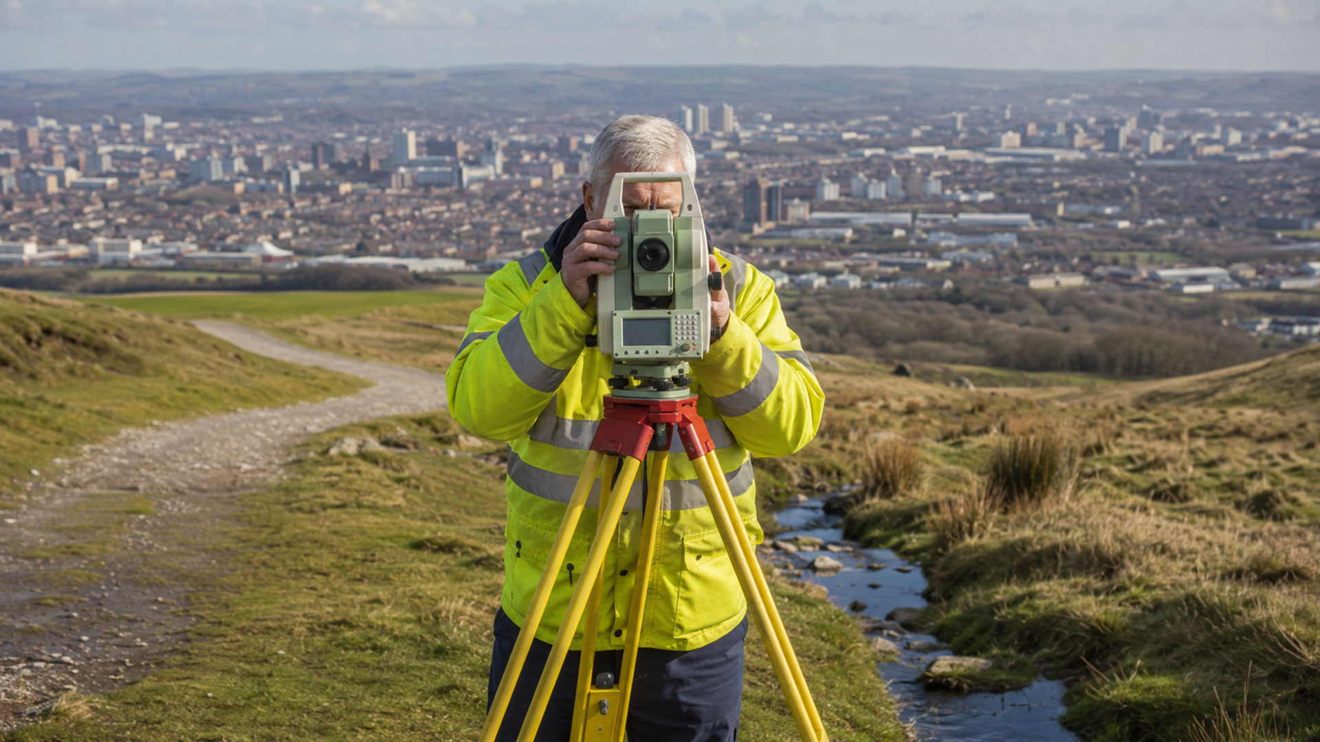
Measured Land Surveys
Accurate plans of land, boundaries, buildings, access points and external features for property, planning and design purposes.
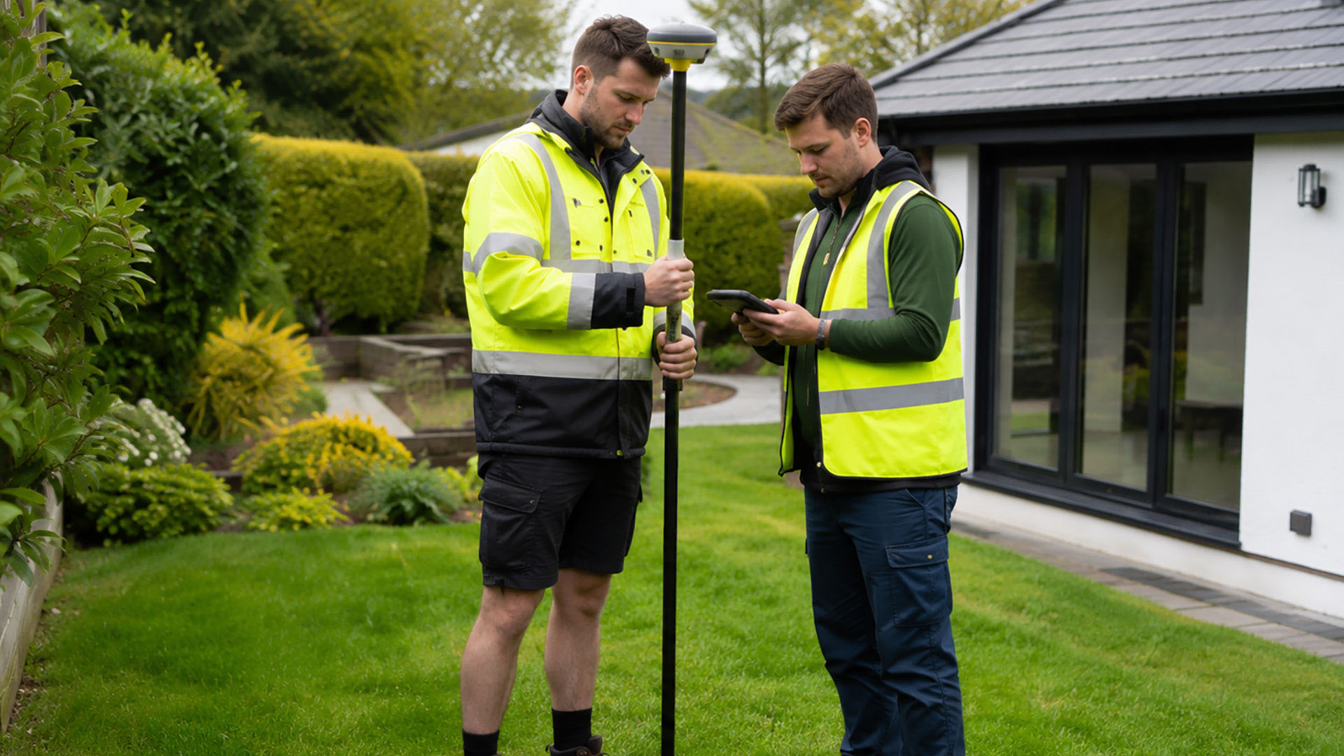
Measured Building Surveys
Accurate plans of land, boundaries, buildings, access points and external features for property, planning and design purposes.
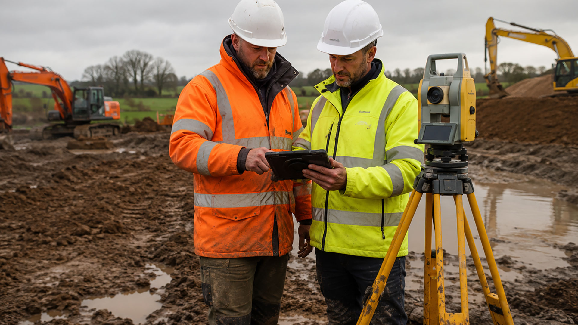
Topographical Surveys
A detailed record of site features, levels and contours to support architects, developers, engineers and planning professionals.

Drone Surveys
Efficient aerial data capture for large, complex and difficult-to-access sites, delivering accurate information quickly across the North West.
FEATURED SERVICE
Resolve boundary uncertainty
Our professional boundary surveys provide the accurate information needed to help identify property boundaries, support planning applications and assist in resolving disputes with confidence.
From residential properties to commercial developments, we provide precise measurements and professional CAD drawings that remove uncertainty and give you the confidence to move your project forward.
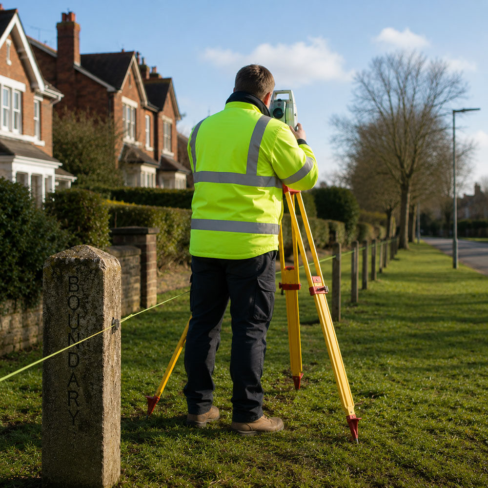
Surveying Insights
Stay up to date with the latest surveying news, expert advice and practical guides covering boundary disputes, measured building surveys, topographical surveys and more.
Modern boundary determination surveys for Warrington
Modern boundary determination surveys in Warrington provide a precise record of what’s on the ground, helping assess the evidence with far greater confidence. When questions arise over the position of a property boundary, accuracy matters. A fence might have been moved, a wall could be altered and landscaping often conceals evidence of an earlier boundary. …
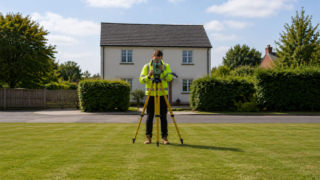
Precise and reliable: boundary surveys in Manchester
Our boundary surveys in Manchester provide an accurate record of the features defining properties, giving you a clearer basis for making informed decisions. Knowing exactly where your property boundary lies is important when replacing a fence, planning an extension, buying or selling land, changing access arrangements or addressing a concern with a neighbouring property. At …
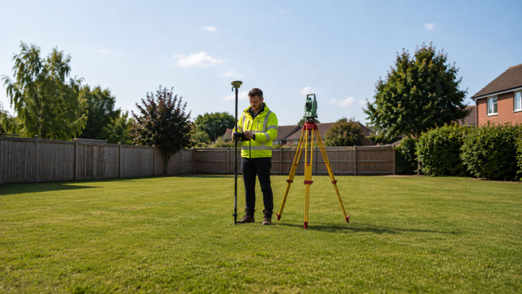
Accurate boundary determination surveys in St Helens
Our boundary determination surveys in St. Helens provide an evidence-based record of a site, pinpointing the position of features relevant to a boundary. When the exact position of a property boundary is unclear, relying on a fence, wall or title plan alone may not provide the certainty you need. At Datum Land Surveys, we take …

How Drone Surveys provide a clearer view of North West sites
When the Best Place to Understand a Site Is Above ItA site viewed from ground level can be difficult to understand as a whole. Buildings interrupt sight lines, roofs remain hidden and larger areas take time to inspect. Drone surveying changes that perspective by capturing detailed aerial information that shows how the different parts of …
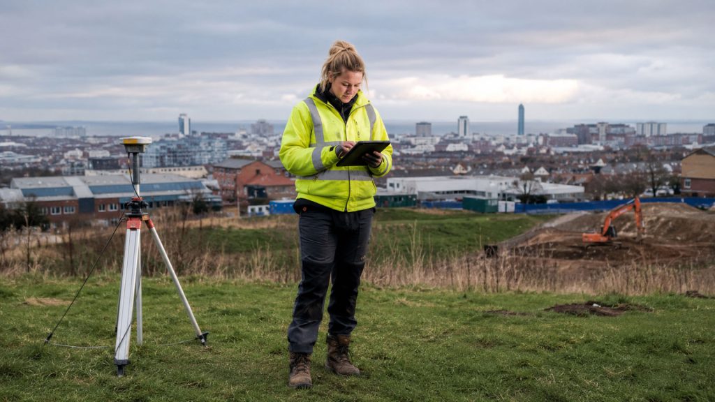
Why a Topographical Survey should come before the design
Good Design Begins with the Ground Beneath ItIt is tempting to begin a development project with the proposed building. Floor plans, elevations and visual ideas are naturally more exciting than spot heights, contours and drainage covers. Yet the quality of the finished design depends heavily on the accuracy of the information beneath it. A topographical …
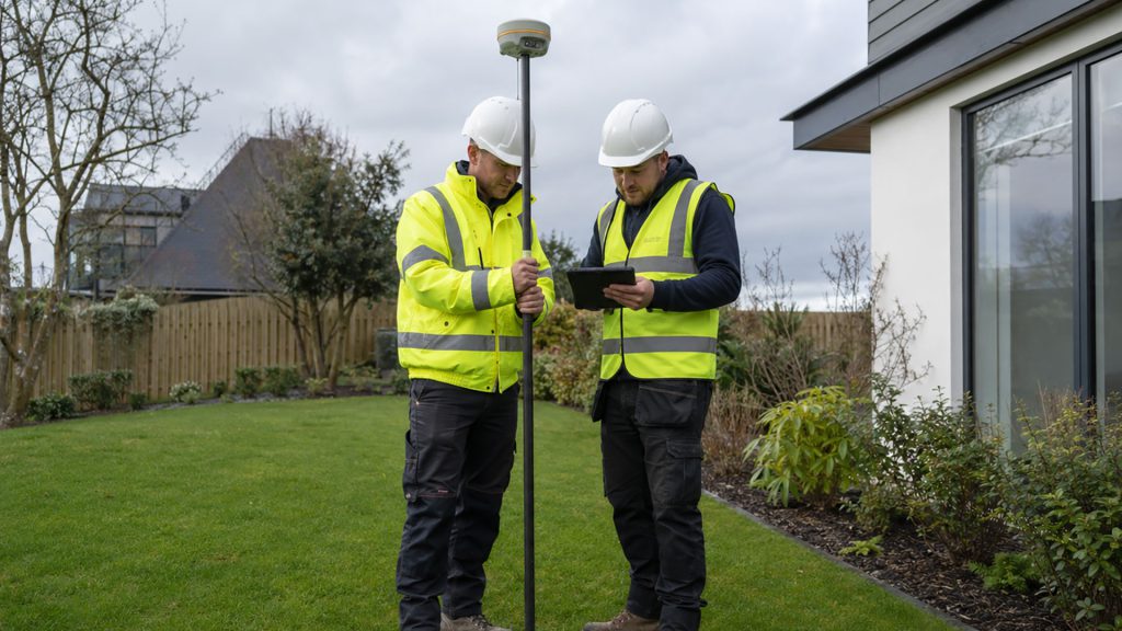
Where does my property boundary actually run?
Why the Red Line Is Only the BeginningA property boundary can look perfectly obvious until someone needs to know exactly where it runs. Perhaps a fence is being replaced, an extension is being planned or a neighbour has questioned the position of a wall. At that point, many owners turn to the Land Registry title …
Why Choose Datum Surveys?
At Datum Surveys, we combine experience, precision and modern surveying technology to deliver accurate, reliable results. Whether you're a homeowner, architect, developer or commercial client, we're committed to providing professional surveys you can trust.